Subject: Reference Books
Period: 1980-90 (published)
Publication:
Color: Printed Color
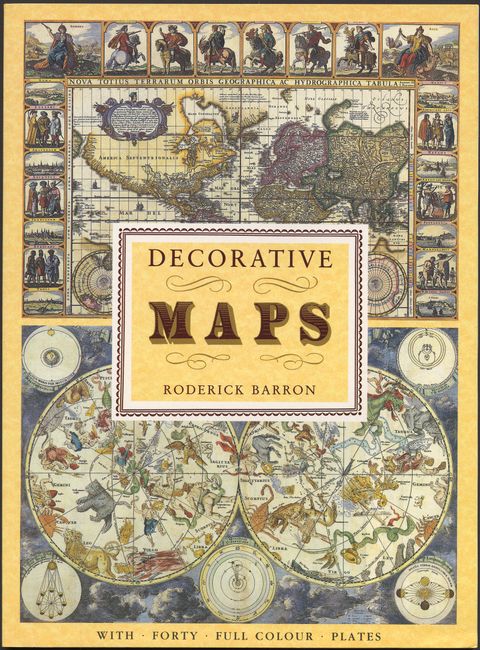
1) Decorative Maps contains six pages of text with 40 beautifully reproduced full-page color map plates. A volume in the Poster Art Series. Illustrated paper covers. Roderick Barron, 1990, London, 11" x 15".
2) Atlas of Columbus and The Great Discoveries, by Kenneth Nebenzahl, illustrates a selection of the most significant materials of the period, beginning with the world as known to Europeans before Columbus's first voyage. Over 100 color illustrations depicting maps by Ptolemy, Pizzagano, Martellus, Waldseemuller, Mercator, Hondius and others. 168 pp., with index & bibliography. (11.3 x 14.8") Rand McNally, Chicago, 1980. Hardbound in blue cloth with title in gilt and illustrated dust jacket.
References:
Condition: A+
Both near new condition.