Subject: Reference Books
Period: 1968 (published)
Publication: Elsevier - International Book Society
Color: Printed Color
Size:
11 x 16 inches
27.9 x 40.6 cm
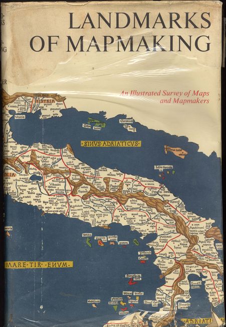
Preface by Gerald Roe Crone with maps chosen by R. V. Tooley. A standard reference and a beautifully produced and illustrated work covering the development of cartography, the exploration and mapping of Europe, Asia, Africa, the Americas and Australia. This first edition has 20 foldouts; ten fold-out maps in facsimile, printed in six to eight colors; four similar maps printed in one color, and six illustrations in four colors. There are many other wonderful period illustrations, some in color, many full page. Linen bound boards, elaborate gilt and white title and design on spine, design front board, pictorial end papers. 276 pp., over 350 illus., including maps, portraits, title pages and reproductions from early sources, 14 color folding maps, other color illus., bibliography, and index. Hard bound in brown cloth, gilt lettering.
References:
Condition: A
Covers and contents are very good to fine. Dust jacket is soiled, torn, rough along the bottom and missing some of the plastic cover. Previous owners name on inside front cover.