Subject: Atlases
Period: 1872 (published)
Publication:
Color: Hand Color
Size:
14 x 17.3 inches
35.6 x 43.9 cm
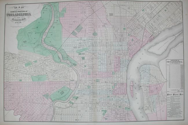
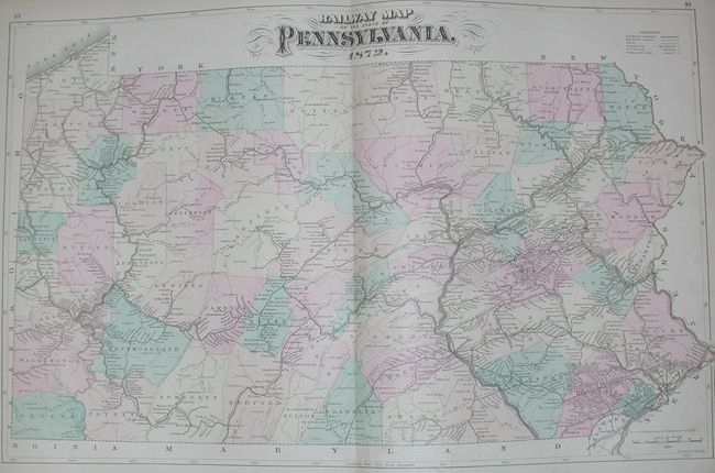
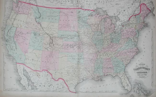
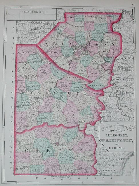
Complete folio atlas filled with great, detailed maps. Contains four thematic maps including a beautifully engraved and colorful geological map, double-page maps of Pennsylvania and of the Untied States, and twenty-three (4 double-page and 19 single-page) maps of counties and cities. Hardbound in cloth with calf spine and tips, and embossed gilt titling on cover, 138 pp, title page, Table of Contents, General Description, maps, List of Cities, Boroughs, Townships, Post-Offices, Railroad and Telegraphic Stations, and Classified directory of Business firms & professional men of Philadelphia. Nice example of this atlas.
References: Phillips (A) #2453; Ristow pp. 429-30
Condition: B
Covers loose and spine mostly missing. A hint of water staining at bottom of some pages, most maps very good to fine. One double page map with split and tear. First signature nearly detached.