Catalog Archive
Auction 115, Lot 338
"Dominica from an Actual Survey Compleated in the Year 1773", Jefferys, Thomas
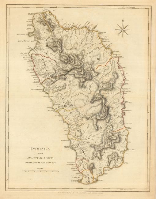
Subject: Dominica
Period: 1775 (dated)
Publication: West-India Atlas
Color: Hand Color
Size:
19 x 24.5 inches
48.3 x 62.2 cm
Download High Resolution Image
(or just click on image to launch the Zoom viewer)
(or just click on image to launch the Zoom viewer)