Catalog Archive
Auction 115, Lot 327
"An Accurate Map of the West Indies, with the Adjacent Coast", Gibson, John
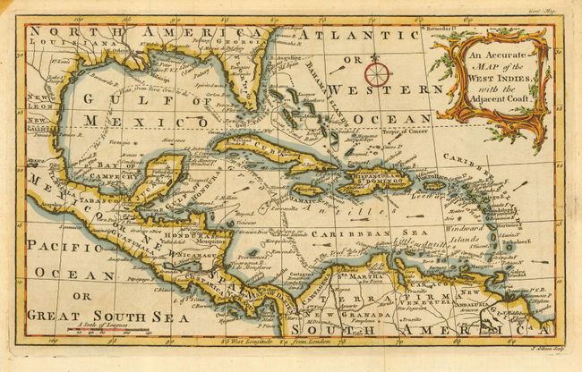
Subject: Gulf of Mexico and Caribbean
Period: 1762 (published)
Publication: Gentleman's Magazine,
Color: Hand Color
Size:
11.5 x 7.5 inches
29.2 x 19.1 cm
Download High Resolution Image
(or just click on image to launch the Zoom viewer)
(or just click on image to launch the Zoom viewer)