Antique Maps, Charts, Atlases and Globes for Sale at Auction

Old World Auctions - Antique Map Specialists


Antique Map Auction Sale No. 111 - closed 6/8/2005

Featuring 788 lots of rare antique maps, charts, pocket maps, globes and atlases
Prices Realized       Table of Contents       Search Auction


Lot #154: "Colton's Minnesota and Dakota" Joseph Hutchins Colton

Antique map chart Colton s Minnesota and Dakota
Click to see full size image(s)

Estimate:
$100.00 - $140.00
Sold for: $70.00

Lot 154
By: Joseph Hutchins Colton
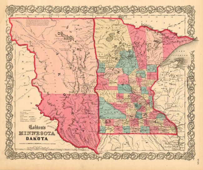
Subject: Central United States
Date: 1855

Publication: Atlas of the World

Condition: A
See Condition Guidelines

Color: hand color

Size: 15.6 x 12.7 inches
39.7 x 32.3 cm

The newly formed Dakota Territory is a huge unorganized area with its western boundary along the Missouri River. An interesting notation locates vast prairies said to be "the great Hunting and Fighting Ground of Dakotah, Odjebwe, Assiniboin, Arikara, Minitarree and other Nations." Good detail throughout Minnesota. A handsome map with Colton's decorative scroll border. Published by Johnson and Browning, 1859-61.

Bright, crisp impression with strong original hand coloring. Full margins with a stain in margin at upper left corner, else fine.

See on Map Price Guide | See similar on Map Price Guide
Search this archived auction | Antique Map Price Guide