Catalog Archive
Auction 110, Lot 98
"Map of the Province of Canada from Lake Superior to the Gulf of St. Lawrence…", Keefer, Thomas C.
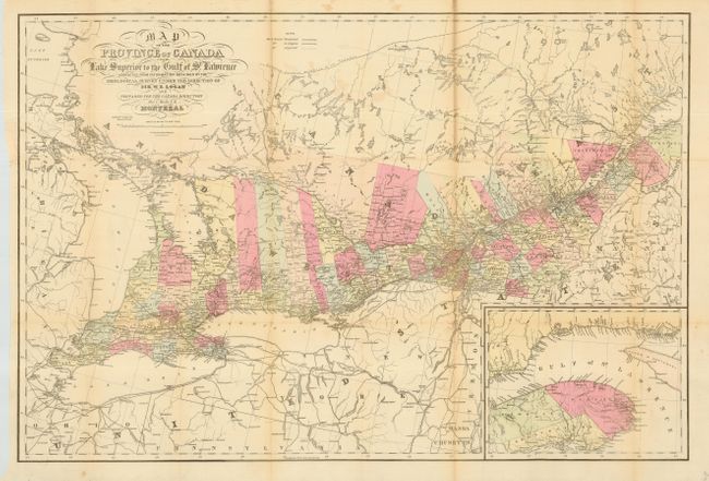
Subject: Canada
Period: 1857 (published)
Publication: Canada Directory
Color: Hand Color
Size:
33.5 x 22.4 inches
85.1 x 56.9 cm
Download High Resolution Image
(or just click on image to launch the Zoom viewer)
(or just click on image to launch the Zoom viewer)