Subject: Atlases
Period: 1865 (published)
Publication:
Color: Hand Color
Size:
11.5 x 16.5 inches
29.2 x 41.9 cm
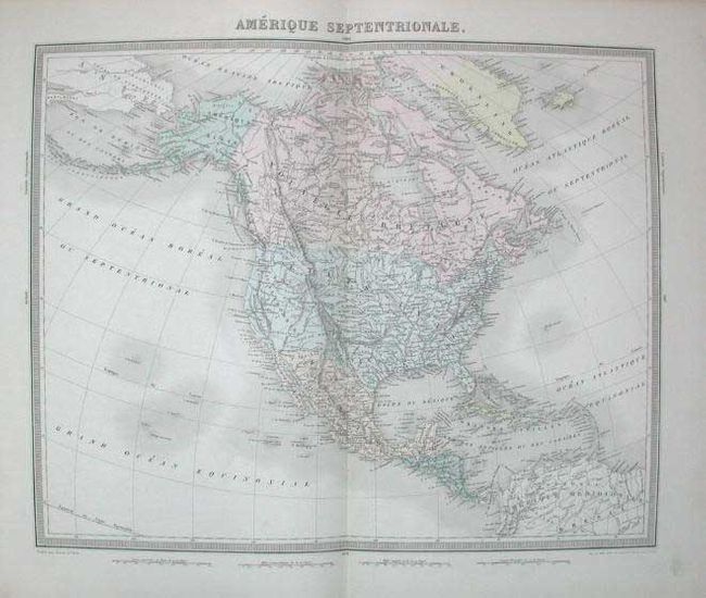
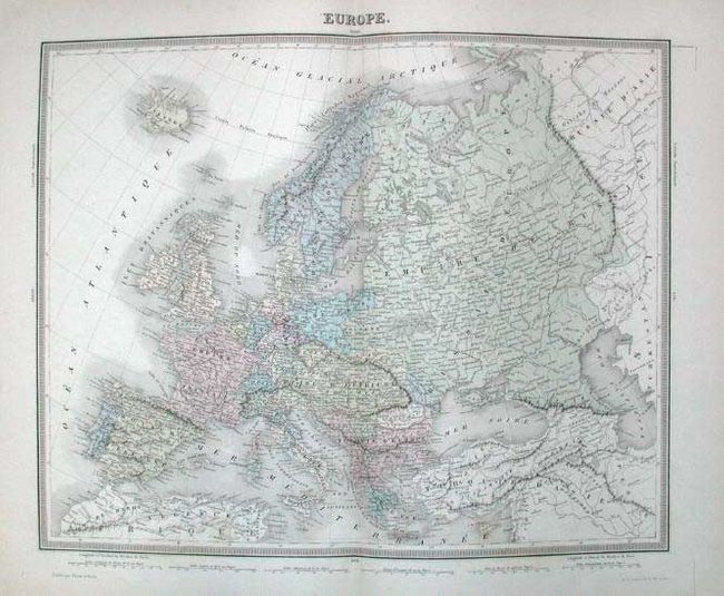
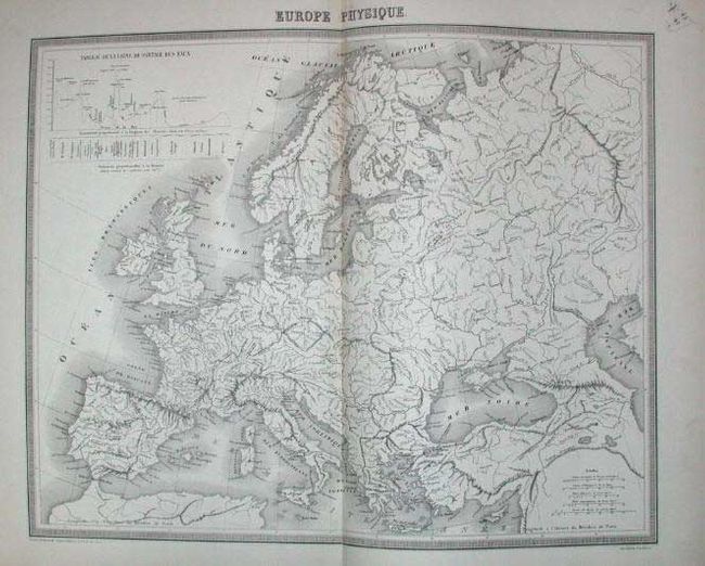
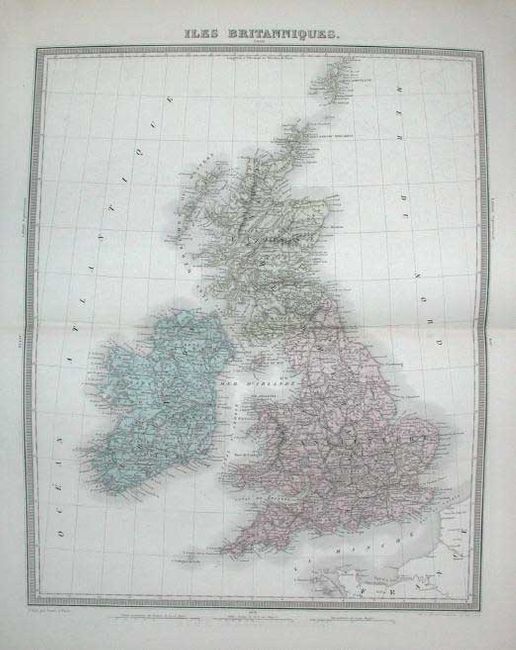
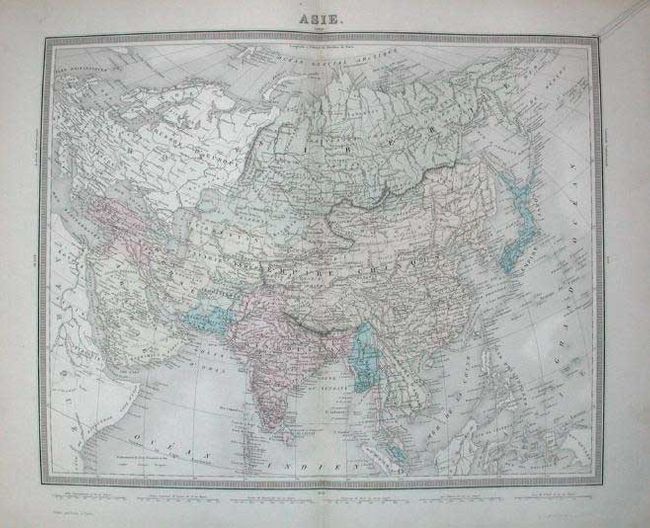
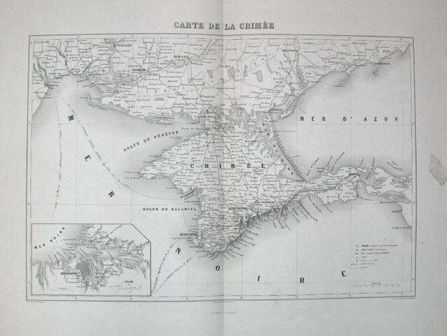
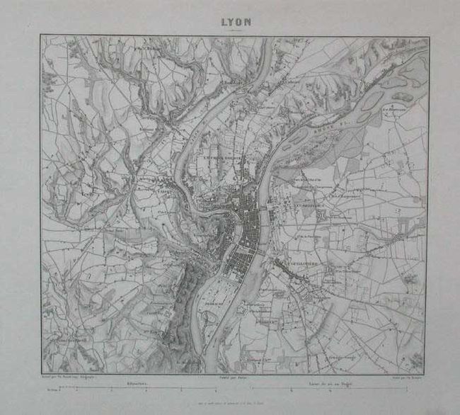
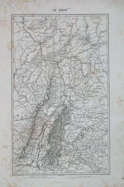
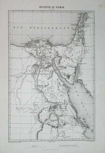
This atlas has 13 double-page maps that cover the world including Europe (2), France (2), central Europe, Britain, Italy, Turkey in Europe, Asia, Africa, and Amerique Septentrionale. All with original hand coloring. The next 37 maps cover various military campaigns including expeditions to Egypt and Syria, Algeria and the Crimea, plus military operations throughout Europe. These are uncolored and mostly full-page maps. Followed by 24 tables giving much geographical and political information, military composition, numbers, locations, and much more. Hardbound in paper covered boards with later cloth spine.
References:
Condition: B
Well worn covers, contents shaken, notations on end papers. Some maps separating from their backstrap. One map has ink writing above neatline, another with marginal loss at bottom, and another with red ink spots in map. Most other maps are very good.