Catalog Archive
Auction 109, Lot 499
"Palatinatus Posnaniensis, in Maiori Polonia Primarii Nova Delinatio", Pitt, Moses
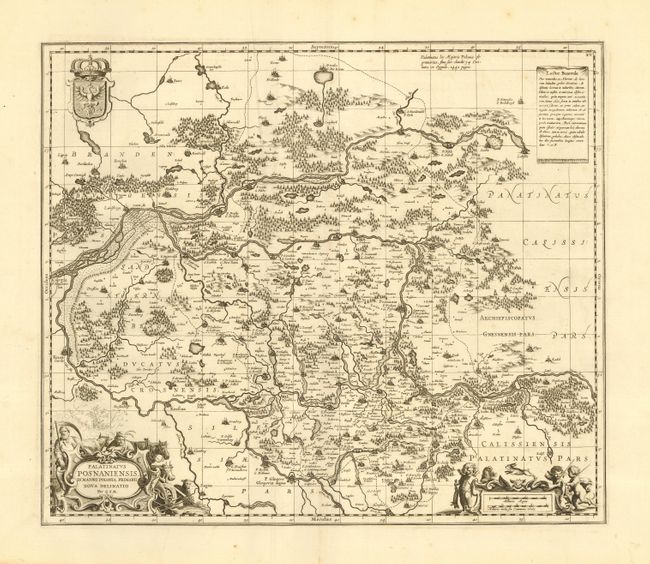
Subject: Poland
Period: 1681 (published)
Publication: Atlas
Color: Black & White
Size:
21 x 18 inches
53.3 x 45.7 cm
Download High Resolution Image
(or just click on image to launch the Zoom viewer)
(or just click on image to launch the Zoom viewer)