Catalog Archive
Auction 109, Lot 388
"A New and Accurate Map of the Kingdom of Prussia, Pomerania, Courland, & the adjacent Parts bordering on The Baltick Sea", Seale, Richard William
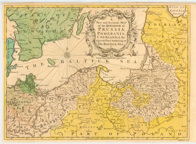
Subject: Baltic
Period: 1757 (published)
Publication: Universal Magazine
Color: Hand Color
Size:
14.5 x 10.5 inches
36.8 x 26.7 cm
Download High Resolution Image
(or just click on image to launch the Zoom viewer)
(or just click on image to launch the Zoom viewer)