Antique Maps, Charts, Atlases and Globes for Sale at Auction

Old World Auctions - Antique Map Specialists


Antique Map Auction Sale No. 109 - closed 12/1/2004

Featuring 818 lots of rare antique maps, charts, pocket maps, globes and atlases
Prices Realized       Table of Contents       Search Auction


Lot #142: "Karte von dem Flusse Richelieu und dem See Champlain…" Jacques Nicolas Bellin

Antique map chart Karte von dem Flusse Richelieu und dem See Champlain
Click to see full size image(s)

Estimate:
$90.00 - $120.00
Sold for: $130.00

Lot 142
By: Jacques Nicolas Bellin
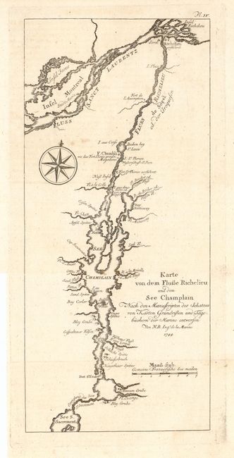
Subject: Canada and New York
Date: 1744

Publication: Allegmeine Historie der Reisen zu Wasser und zu Lande

Condition: A
See Condition Guidelines

Color: uncolored

Size: 5.2 x 11.8 inches
13.2 x 30.0 cm

Very detailed chart of the area around Lake Champlain, including the rivers Richelieu and St. Lawrence to include the Montreal area. Montreal is here called Saint Maria. Numerous place names including Forts Chambli, l'Assomption, Richelieu and St. Friderich. Fancy script in title and compass rose at left. Dated 1744, but published in 1756 by Arkstee & Merkus.

Fine impression on a full sheet of hand laid paper with original margins.

See on Map Price Guide | See similar on Map Price Guide
Search this archived auction | Antique Map Price Guide